
Hamilton Island topographic map
Interactive map
Click on the map to display elevation.
About this map
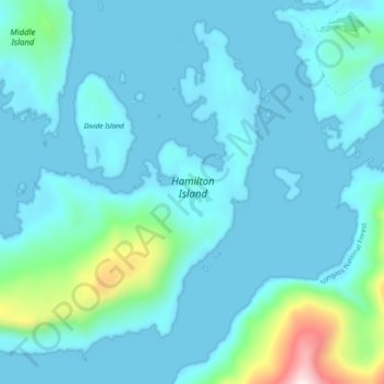
Name: Hamilton Island topographic map, elevation, terrain.
Location: Hamilton Island, Prince of Wales-Hyder, Alaska, USA (56.12596 -133.57270 56.17222 -133.47839)
Average elevation: 80 m
Minimum elevation: -6 m
Maximum elevation: 686 m
Other topographic maps
Click on a map to view its topography, its elevation and its terrain.