
Şəki topographic map
Interactive map
Click on the map to display elevation.
About this map
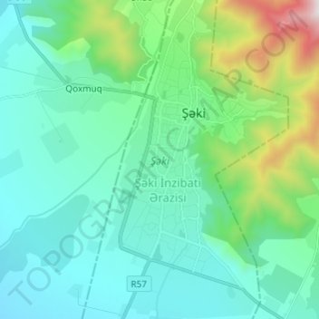
Name: Şəki topographic map, elevation, terrain.
Location: Şəki, Shaki, Azerbaïdjan (41.15661 47.15233 41.23475 47.21184)
Average elevation: 740 m
Minimum elevation: 356 m
Maximum elevation: 2,086 m