
Lamana topographic map
Interactive map
Click on the map to display elevation.
About this map
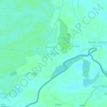
Name: Lamana topographic map, elevation, terrain.
Location: Lamana, Diffa, Niger (13.48745 12.90873 13.52745 12.94873)
Average elevation: 298 m
Minimum elevation: 295 m
Maximum elevation: 301 m