
Westminster topographic map
Interactive map
Click on the map to display elevation.
About this map
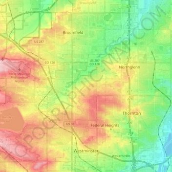
Name: Westminster topographic map, elevation, terrain.
Location: Westminster, Adams County, Colorado, United States (39.81915 -105.16554 39.96854 -104.98768)
Average elevation: 1,630 m
Minimum elevation: 1,548 m
Maximum elevation: 1,736 m