
Calder topographic map
Interactive map
Click on the map to display elevation.
About this map
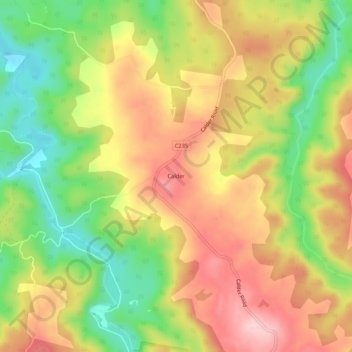
Name: Calder topographic map, elevation, terrain.
Location: Calder, Tasmania, Australia (-41.08940 145.61395 -41.04940 145.65395)
Average elevation: 172 m
Minimum elevation: 58 m
Maximum elevation: 278 m