
Neringa topographic map
Interactive map
Click on the map to display elevation.
About this map
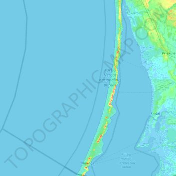
Name: Neringa topographic map, elevation, terrain.
Location: Neringa, Neringos savivaldybė, Klaipeda County, Lithuania (55.27752 20.95377 55.67378 21.13576)
Average elevation: 1 m
Minimum elevation: -4 m
Maximum elevation: 53 m