
Huron Township topographic map
Interactive map
Click on the map to display elevation.
About this map
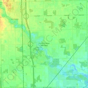
Name: Huron Township topographic map, elevation, terrain.
Location: Huron Township, Wayne County, Michigan, 48164, United States (42.09357 -83.42319 42.18128 -83.30389)
Average elevation: 191 m
Minimum elevation: 179 m
Maximum elevation: 206 m