
Mountain Top topographic map
Interactive map
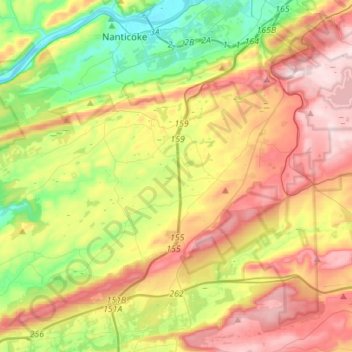
Click on the map to display elevation.
About this map
Name: Mountain Top topographic map, elevation, terrain.
Location: Mountain Top, Luzerne County, Pennsylvania, United States (41.05518 -76.08999 41.18888 -75.81570)
Average elevation: 371 m
Minimum elevation: 150 m
Maximum elevation: 642 m