
Vevay topographic map
Interactive map
Click on the map to display elevation.
About this map
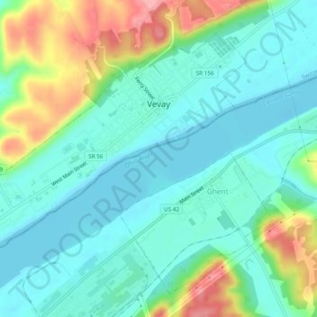
Name: Vevay topographic map, elevation, terrain.
Location: Vevay, Switzerland County, Indiana, United States (38.72651 -85.10172 38.75619 -85.05396)
Average elevation: 164 m
Minimum elevation: 132 m
Maximum elevation: 248 m