
Stonehenge topographic map
Interactive map
Click on the map to display elevation.
About this map
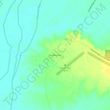
Name: Stonehenge topographic map, elevation, terrain.
Location: Stonehenge, Queensland, 4730, Australia (-24.37284 143.26528 -24.33284 143.30528)
Average elevation: 156 m
Minimum elevation: 148 m
Maximum elevation: 168 m