
Surrey Heath topographic map
Interactive map
Click on the map to display elevation.
About this map
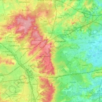
Name: Surrey Heath topographic map, elevation, terrain.
Location: Surrey Heath, Surrey, South East, England, United Kingdom (51.27925 -0.77548 51.39246 -0.54851)
Average elevation: 69 m
Minimum elevation: 21 m
Maximum elevation: 137 m
Other topographic maps
Click on a map to view its topography, its elevation and its terrain.
Kings Hill
United Kingdom > England > Surrey Heath
Kings Hill, Surrey Heath, Surrey, South East, England, SL5 9RT, United Kingdom
Average elevation: 66 m