
Boyanup topographic map
Interactive map
Click on the map to display elevation.
About this map
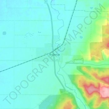
Name: Boyanup topographic map, elevation, terrain.
Location: Boyanup, Shire Of Capel, Western Australia, Australia (-33.52436 115.68891 -33.44436 115.76891)
Average elevation: 51 m
Minimum elevation: 25 m
Maximum elevation: 159 m