
Moora topographic map
Interactive map
Click on the map to display elevation.
About this map
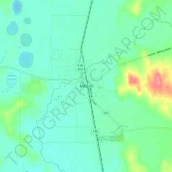
Name: Moora topographic map, elevation, terrain.
Location: Moora, Western Australia, Australia (-30.68163 115.96764 -30.60163 116.04764)
Average elevation: 212 m
Minimum elevation: 194 m
Maximum elevation: 273 m
Western Australia trails, hiking, mountain biking, running and outdoor activities