
Jamieson topographic map
Interactive map
Click on the map to display elevation.
About this map
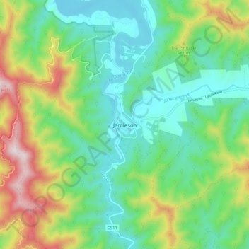
Name: Jamieson topographic map, elevation, terrain.
Location: Jamieson, Mt Buller Mt Stirling, Hume, Victoria, Australia (-37.34289 146.09754 -37.26289 146.17754)
Average elevation: 498 m
Minimum elevation: 270 m
Maximum elevation: 1,007 m
Victoria trails, hiking, mountain biking, running and outdoor activities