
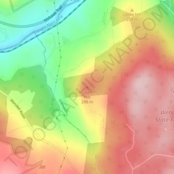
Jerusalem Hill topographic map
Interactive map
Click on the map to display elevation.
About this map
Name: Jerusalem Hill topographic map, elevation, terrain.
Location: Jerusalem Hill, Wendell, Franklin, Massachusetts, 01344, USA (42.56809 -72.45514 42.56819 -72.45504)
Average elevation: 237 m
Minimum elevation: 88 m
Maximum elevation: 357 m