
Glacial Lake topographic map
Interactive map
Click on the map to display elevation.
About this map
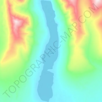
Name: Glacial Lake topographic map, elevation, terrain.
Location: Glacial Lake, Nome, Alaska, USA (64.83825 -165.71906 64.89184 -165.69263)
Average elevation: 313 m
Minimum elevation: 122 m
Maximum elevation: 867 m
Other topographic maps
Click on a map to view its topography, its elevation and its terrain.