
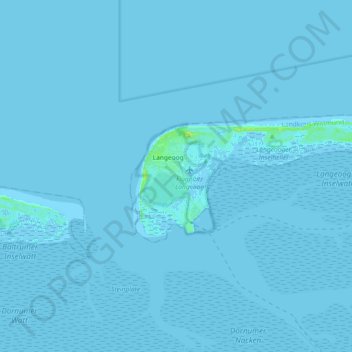
Langeoog topographic map
Interactive map
Click on the map to display elevation.
About this map
Name: Langeoog topographic map, elevation, terrain.
Location: Langeoog, Landkreis Wittmund, Lower Saxony, 26465, Germany (53.72167 7.45912 53.75937 7.64183)
Average elevation: 0 m
Minimum elevation: -3 m
Maximum elevation: 17 m