
Taro Island topographic map
Interactive map
Click on the map to display elevation.
About this map
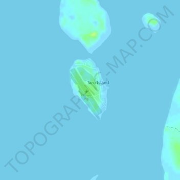
Name: Taro Island topographic map, elevation, terrain.
Location: Taro Island, Choiseul Province, Solomon Islands (-6.71628 156.39349 -6.70669 156.39953)
Average elevation: 1 m
Minimum elevation: -1 m
Maximum elevation: 13 m