
Cliff Island topographic map
Interactive map
Click on the map to display elevation.
About this map
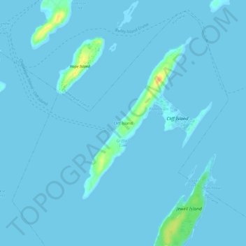
Name: Cliff Island topographic map, elevation, terrain.
Location: Cliff Island, Cumberland County, Maine, 04019, USA (43.67619 -70.12783 43.71619 -70.08783)
Average elevation: 1 m
Minimum elevation: -1 m
Maximum elevation: 30 m