
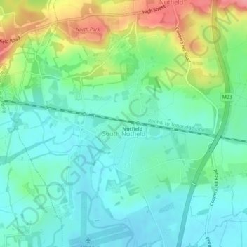
South Nutfield topographic map
Interactive map
Click on the map to display elevation.
About this map
Name: South Nutfield topographic map, elevation, terrain.
Location: South Nutfield, Surrey, South East, England, United Kingdom (51.21863 -0.14147 51.23451 -0.12563)
Average elevation: 88 m
Minimum elevation: 59 m
Maximum elevation: 154 m