
Camp Mountain topographic map
Interactive map
Click on the map to display elevation.
About this map
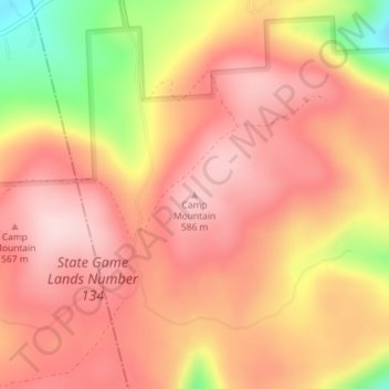
Name: Camp Mountain topographic map, elevation, terrain.
Average elevation: 509 m
Minimum elevation: 325 m
Maximum elevation: 597 m
Other topographic maps
Click on a map to view its topography, its elevation and its terrain.
Gooseberry Hill
United States > Pennsylvania > Sullivan County
Gooseberry Hill, Sullivan County, Pennsylvania, 18619, United States
Average elevation: 446 m