
Latrobe topographic map
Interactive map
Click on the map to display elevation.
About this map
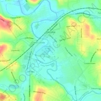
Name: Latrobe topographic map, elevation, terrain.
Location: Latrobe, Westmoreland County, Pennsylvania, United States (40.29214 -79.40385 40.32889 -79.36524)
Average elevation: 317 m
Minimum elevation: 291 m
Maximum elevation: 370 m
Other topographic maps
Click on a map to view its topography, its elevation and its terrain.
New Florence
United States > Pennsylvania > Westmoreland County
New Florence, Westmoreland County, Pennsylvania, United States
Average elevation: 346 m