
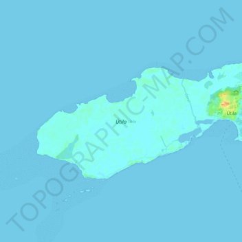
Útila topographic map
Interactive map
Click on the map to display elevation.
About this map
Name: Útila topographic map, elevation, terrain.
Average elevation: 1 m
Minimum elevation: -1 m
Maximum elevation: 31 m
Other topographic maps
Click on a map to view its topography, its elevation and its terrain.
Roatán
Honduras > Islas de la Bahía > Coxen Hole
Roatán, Coxen Hole, Roatan, Islas de la Bahía, 33166, Honduras
Average elevation: 3 m