
Roseberry topographic map
Interactive map
Click on the map to display elevation.
About this map
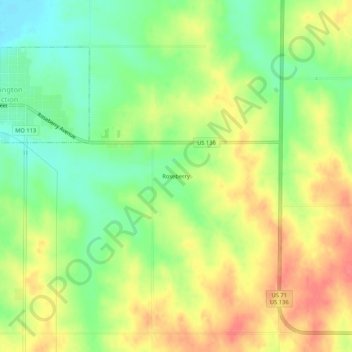
Name: Roseberry topographic map, elevation, terrain.
Location: Roseberry, Nodaway County, Missouri, 64428, USA (40.41777 -95.06081 40.45777 -95.02081)
Average elevation: 316 m
Minimum elevation: 283 m
Maximum elevation: 350 m