
Dhārchula topographic map
Interactive map
Click on the map to display elevation.
About this map
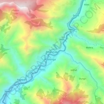
Name: Dhārchula topographic map, elevation, terrain.
Location: Dhārchula, Pithoragarh, Uttarakhand, India (29.80911 80.50147 29.88911 80.58147)
Average elevation: 1,579 m
Minimum elevation: 787 m
Maximum elevation: 3,082 m