
Ginger Island topographic map
Interactive map
Click on the map to display elevation.
About this map
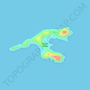
Name: Ginger Island topographic map, elevation, terrain.
Location: Ginger Island, British Virgin Islands (18.38222 -64.48944 18.39344 -64.46878)
Average elevation: 4 m
Minimum elevation: 0 m
Maximum elevation: 127 m