
Lethbridge topographic map
Interactive map
Click on the map to display elevation.
About this map
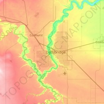
Name: Lethbridge topographic map, elevation, terrain.
Location: Lethbridge, City of Lethbridge, Alberta, T1J 4L3, Canada (49.53429 -113.01156 49.85429 -112.69156)
Average elevation: 918 m
Minimum elevation: 782 m
Maximum elevation: 1,056 m
Other topographic maps
Click on a map to view its topography, its elevation and its terrain.