
Piton des Neiges topographic map
Interactive map
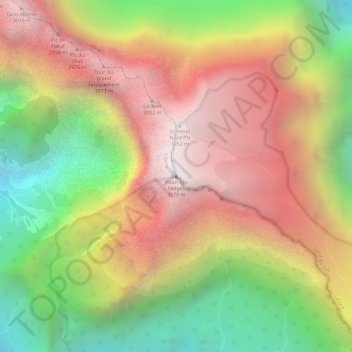
Click on the map to display elevation.
About this map
Name: Piton des Neiges topographic map, elevation, terrain.
Average elevation: 2,466 m
Minimum elevation: 1,739 m
Maximum elevation: 3,062 m
Other topographic maps
Click on a map to view its topography, its elevation and its terrain.
Cilaos
France > La Réunion > Cilaos
Cilaos, Saint-Pierre, La Réunion, 97413, France
Average elevation: 1,537 m