
Oriental Island topographic map
Interactive map
Click on the map to display elevation.
About this map
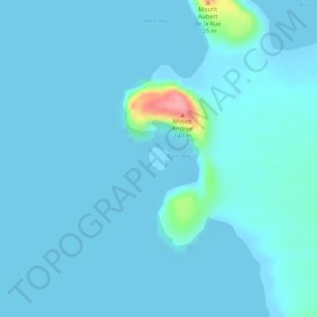
Name: Oriental Island topographic map, elevation, terrain.
Location: Oriental Island, Islas Heard y McDonald, Australia (-53.03795 73.36407 -53.03602 73.36695)
Average elevation: 7 m
Minimum elevation: -3 m
Maximum elevation: 106 m