
Laurel topographic map
Interactive map
Click on the map to display elevation.
About this map
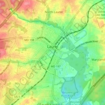
Name: Laurel topographic map, elevation, terrain.
Location: Laurel, Prince George's County, Maryland, 20707, USA (39.07624 -76.89025 39.11461 -76.83048)
Average elevation: 59 m
Minimum elevation: 26 m
Maximum elevation: 100 m