
Keith County topographic map
Interactive map
Click on the map to display elevation.
About this map
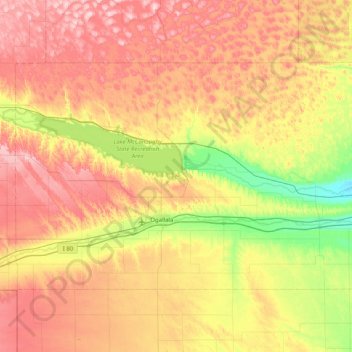
Name: Keith County topographic map, elevation, terrain.
Location: Keith County, Nebraska, USA (41.00347 -102.05557 41.39594 -101.24803)
Average elevation: 1,044 m
Minimum elevation: 913 m
Maximum elevation: 1,189 m
Other topographic maps
Click on a map to view its topography, its elevation and its terrain.
Miracle Hills Perched Mallards Park
Miracle Hills Perched Mallards Park, Omaha, Douglas County, Nebraska, USA
Average elevation: 338 m