
Nguna topographic map
Interactive map
Click on the map to display elevation.
About this map
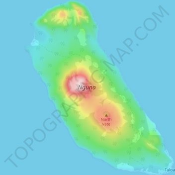
Name: Nguna topographic map, elevation, terrain.
Location: Nguna, Port Vila, Shefa, Vanuatu (-17.48447 168.32327 -17.41201 168.38850)
Average elevation: 75 m
Minimum elevation: 0 m
Maximum elevation: 583 m
Other topographic maps
Click on a map to view its topography, its elevation and its terrain.