
Fontana topographic map
Interactive map
Click on the map to display elevation.
About this map
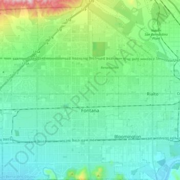
Name: Fontana topographic map, elevation, terrain.
Location: Fontana, San Bernardino County, California, USA (34.03348 -117.52431 34.18416 -117.40106)
Average elevation: 411 m
Minimum elevation: 257 m
Maximum elevation: 1,004 m