
Forth River topographic map
Interactive map
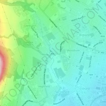
Click on the map to display elevation.
About this map
Name: Forth River topographic map, elevation, terrain.
Average elevation: 73 m
Minimum elevation: 9 m
Maximum elevation: 274 m
Other topographic maps
Click on a map to view its topography, its elevation and its terrain.
Malone Lower
United Kingdom > Northern Ireland > Belfast
Malone Lower, Belfast, County Antrim, Northern Ireland, United Kingdom
Average elevation: 15 m