
Kimberly topographic map
Interactive map
Click on the map to display elevation.
About this map
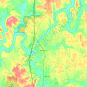
Name: Kimberly topographic map, elevation, terrain.
Location: Kimberly, Jefferson County, Alabama, 35091, USA (33.75626 -86.84947 33.79630 -86.75150)
Average elevation: 140 m
Minimum elevation: 91 m
Maximum elevation: 204 m