
Yellowstone River topographic map
Interactive map
Click on the map to display elevation.
Yellowstone River
The mainstem of the Yellowstone River is more than 700 miles (1,100 km) long. At the headwaters, elevations exceed 12,800 feet (3,900 m) above sea level and descends to 1,850 feet (560 m) at the confluence with the Missouri River in far western North Dakota. The watershed spans 34,167 square miles (88,490 km2). The area contains many lakes, including Yellowstone Lake. There are no storage dams located on the mainstem of the Yellowstone River. However, the watershed contains five major reservoirs built on tributary rivers: Bull Lake, Boysen, Buffalo Bill, Big Horn, Tongue River, and Lake De Smet reservoirs.
About this map
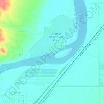
Name: Yellowstone River topographic map, elevation, terrain.
Average elevation: 720 m
Minimum elevation: 707 m
Maximum elevation: 786 m
Other topographic maps
Click on a map to view its topography, its elevation and its terrain.