
Ngoc Linh topographic map
Interactive map
Click on the map to display elevation.
About this map
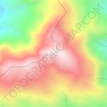
Name: Ngoc Linh topographic map, elevation, terrain.
Location: Ngoc Linh, Đắk Glei District, Kon Tum province, Vietnam (15.06880 107.97547 15.06890 107.97557)
Average elevation: 2,286 m
Minimum elevation: 1,866 m
Maximum elevation: 2,571 m
Other topographic maps
Click on a map to view its topography, its elevation and its terrain.
Măng Đen
Vietnam > Kon Tum province > Kon Plông District
Măng Đen, Kon Plông District, Kon Tum Province, Vietnam
Average elevation: 1,131 m