
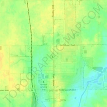
Beecher topographic map
Interactive map
Click on the map to display elevation.
About this map
Name: Beecher topographic map, elevation, terrain.
Location: Beecher, Will County, Illinois, 60401, United States (41.33520 -87.63739 41.36987 -87.59730)
Average elevation: 224 m
Minimum elevation: 210 m
Maximum elevation: 233 m