
Molat topographic map
Interactive map
Click on the map to display elevation.
About this map
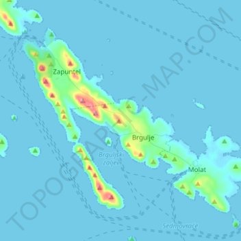
Name: Molat topographic map, elevation, terrain.
Location: Molat, Zadar, Zadar County, 23292, Croatia (44.19756 14.78694 44.26611 14.91138)
Average elevation: 8 m
Minimum elevation: -2 m
Maximum elevation: 134 m
Other topographic maps
Click on a map to view its topography, its elevation and its terrain.