
Weiße Aist topographic map
Interactive map
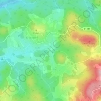
Click on the map to display elevation.
About this map
Name: Weiße Aist topographic map, elevation, terrain.
Average elevation: 932 m
Minimum elevation: 869 m
Maximum elevation: 1,039 m
Other topographic maps
Click on a map to view its topography, its elevation and its terrain.
Liebenau
Österreich > Oberösterreich > Liebenau
Liebenau, Bezirk Freistadt, Oberösterreich, 4252, Österreich
Average elevation: 872 m