
Destor topographic map
Interactive map
Click on the map to display elevation.
About this map
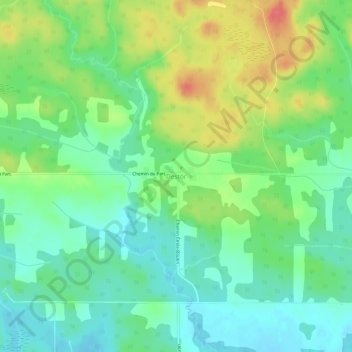
Name: Destor topographic map, elevation, terrain.
Location: Destor, Abitibi-Témiscamingue, Québec, Canada (48.43898 -78.97303 48.47898 -78.93303)
Average elevation: 299 m
Minimum elevation: 276 m
Maximum elevation: 337 m