
Glenhope topographic map
Interactive map
Click on the map to display elevation.
About this map
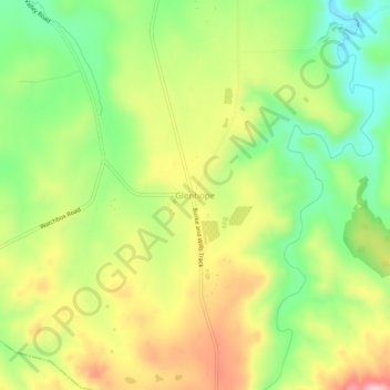
Name: Glenhope topographic map, elevation, terrain.
Location: Glenhope, Shire of Mitchell, Hume, Victoria, Australia (-37.10639 144.58938 -37.06639 144.62938)
Average elevation: 399 m
Minimum elevation: 314 m
Maximum elevation: 499 m