
Bioko Norte topographic map
Interactive map
Click on the map to display elevation.
About this map
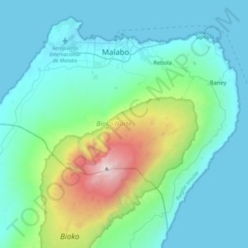
Name: Bioko Norte topographic map, elevation, terrain.
Location: Bioko Norte, Región Insular, Guinea Ecuatorial (3.50557 8.37652 3.98900 9.14039)
Average elevation: 148 m
Minimum elevation: -1 m
Maximum elevation: 2,980 m