
Santa Fe topographic map
Interactive map
Click on the map to display elevation.
About this map
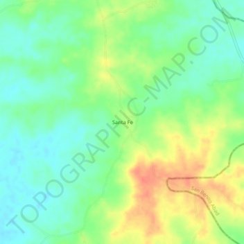
Name: Santa Fe topographic map, elevation, terrain.
Location: Santa Fe, Chinú, Córdoba, Colombia (9.01241 -75.25936 9.05241 -75.21936)
Average elevation: 76 m
Minimum elevation: 55 m
Maximum elevation: 106 m