
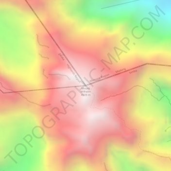
Mount Wilhelm topographic map
Interactive map
Click on the map to display elevation.
About this map
Name: Mount Wilhelm topographic map, elevation, terrain.
Location: Mount Wilhelm, Jiwaka, Momase Region, Papua New Guinea (-5.78104 145.03074 -5.78094 145.03084)
Average elevation: 4,069 m
Minimum elevation: 3,392 m
Maximum elevation: 4,466 m