
Gemeinde Wiener Neustadt topographic map
Interactive map
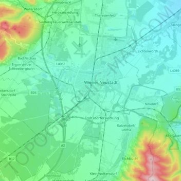
Click on the map to display elevation.
About this map
Name: Gemeinde Wiener Neustadt topographic map, elevation, terrain.
Average elevation: 303 m
Minimum elevation: 232 m
Maximum elevation: 621 m
Die komplette Liste der Statistik Austria ist in: Topographische Siedlungskennzeichnung nach STAT