
Paynesville topographic map
Interactive map
Click on the map to display elevation.
About this map
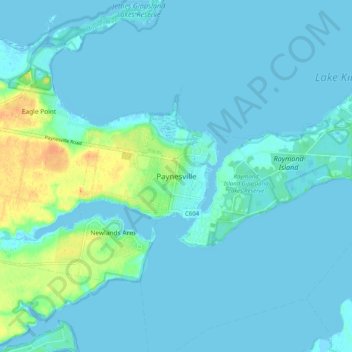
Name: Paynesville topographic map, elevation, terrain.
Average elevation: 5 m
Minimum elevation: -4 m
Maximum elevation: 34 m
Victoria trails, hiking, mountain biking, running and outdoor activities
Other topographic maps
Click on a map to view its topography, its elevation and its terrain.
Steel Bay - Newland Backwater Gippsland Lakes Reserve
Australia > Victoria > Paynesville
Average elevation: 17 m