
Liberty County topographic map
Interactive map
Click on the map to display elevation.
About this map
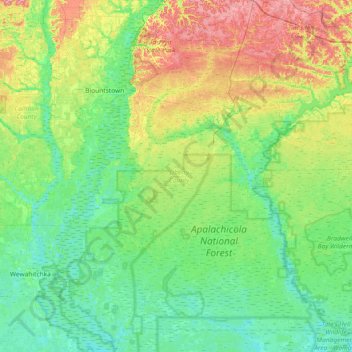
Name: Liberty County topographic map, elevation, terrain.
Location: Liberty County, Florida, United States (29.97199 -85.15299 30.60631 -84.54287)
Average elevation: 27 m
Minimum elevation: 1 m
Maximum elevation: 96 m