
Galt topographic map
Interactive map
Click on the map to display elevation.
About this map
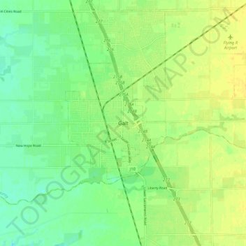
Name: Galt topographic map, elevation, terrain.
Location: Galt, Sacramento County, California, 95632, United States (38.21464 -121.33995 38.29464 -121.25995)
Average elevation: 16 m
Minimum elevation: 4 m
Maximum elevation: 26 m