
Behera topographic map
Interactive map
Click on the map to display elevation.
About this map
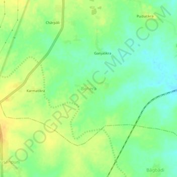
Name: Behera topographic map, elevation, terrain.
Location: Behera, Bargarh Sadar, Bargarh, Odisha, India (21.24572 83.57952 21.28572 83.61952)
Average elevation: 172 m
Minimum elevation: 158 m
Maximum elevation: 186 m